
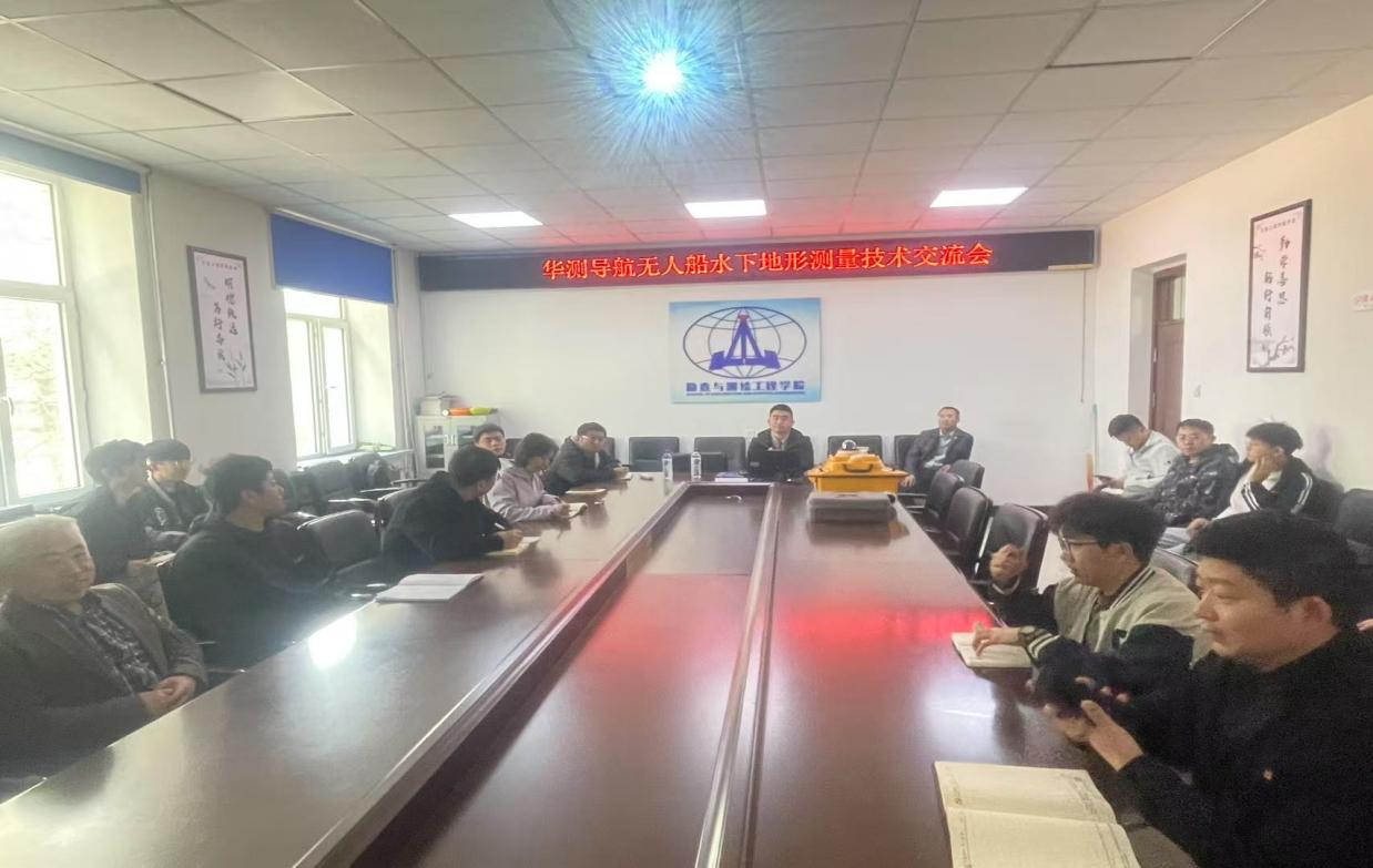
On April 23, 2025, the School of Surveying and Mapping Engineering, in collaboration with CHC Navigation's Jilin Branch, successfully organized a technical exchange conference on underwater terrain surveying with Unmanned Surface Vessels (USV) of CHC Navigation in Room 217 of the First Teaching Building. The event focused on cutting-edge technologies in intelligent surveying and mapping, systematically showcasing the advancements in unmanned vessel applications for underwater terrain measurement. It covered three critical stages: pre-survey planning, on-site operations, and data transmission and processing, highlighting the innovative capabilities of hydro-graphic surveying technologies.
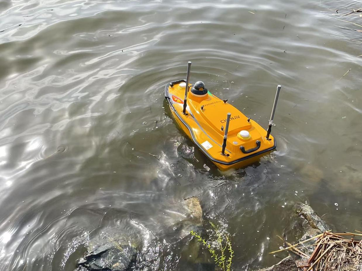
During the conference, representatives from both the university and the enterprise engaged in in-depth discussions on the technical principles of USV measurement systems, route planning optimization, and safety protocols, fostering a deeper integration of USV-based underwater surveying across both theoretical and practical domains. Subsequently, the participants conducted field measurements at Nanhu Lake, during which the USV system demonstrated the complete process of underwater terrain data acquisition, confirming the scientific feasibility of the proposed surveying approach.
After the field measurement, the participants returned to the laboratory to conduct laboratory-based data processing, focusing on data calculation, error correction, and high-precision 3D modeling technology. A multi-dimensional visual analysis of the generated underwater terrain data was performed, enhancing the representation accuracy and judgment precision of aquatic terrain information.
This technical exchange not only strengthened the industry-university-research cooperation between the School of Surveying and Mapping Engineering and the enterprise but also promoted the integration of USV measurement technology into scientific research application and education. Through the organic integration of theoretical analysis and practical operation, the faculty and students mastered the operation process of the advanced USV measurement system and the key technologies of data processing, laying a solid foundation for future scientific research projects in water area surveying and mapping and talent cultivation.
